What does this app do?
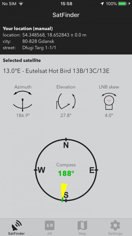
Satfinder is a tool which will help you to setup satellite dish. Based on the given location it determines the angles of azimuth and elevation and show you where to point your antenna. The result can be shown on compass and a map.
What are the app requirements?
App should work on every decent iphone (6s and up). It use GPS to determine your localization but you can also type address manually.
How to use this app?
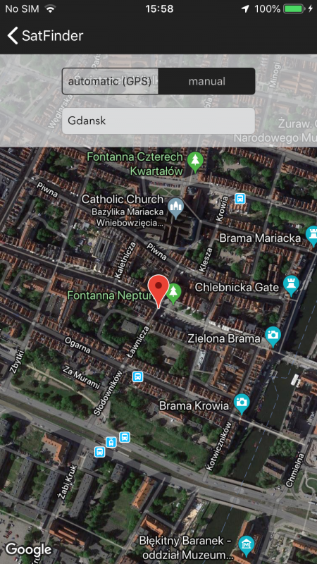
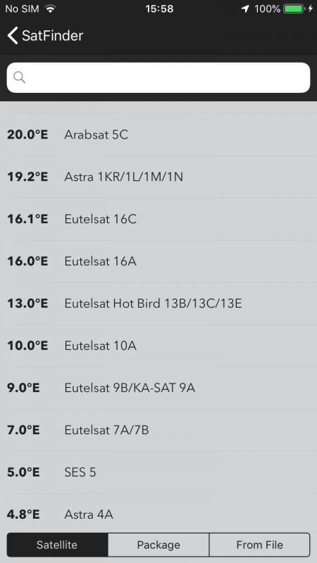
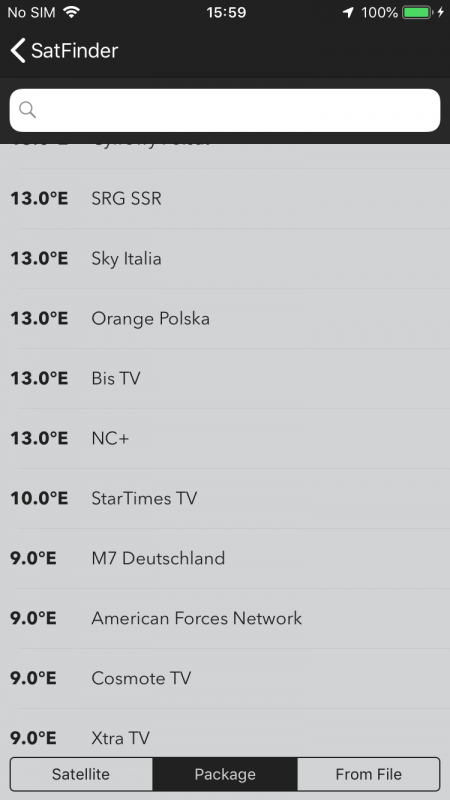
First you need to choose antenna mounting location (from GPS or you can type address manually). Then please select desired satellite and app will calculate all angles automatically.
What should I remember when using a compass on my phone?
To get accurate azimuth from compass it need to be calibrated (preferably before each use). Usually I calibrate my compass like in this video: https://www.youtube.com/watch?v=sP3d00Hr14o . You need to remember that strong magnetic field can affect compass readings. So when calibration doesn’t help – you can use maps to find where you should point dish.
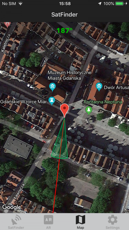
What you can do with maps in app?
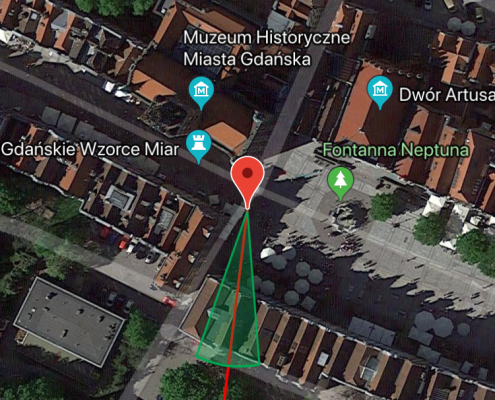
You can find proper direction on map. You can change antenna marker by long tap on desired location on map. Sometimes it help to find any in neighborhood obstacle which intersect red line.
What you can do in AR mode?
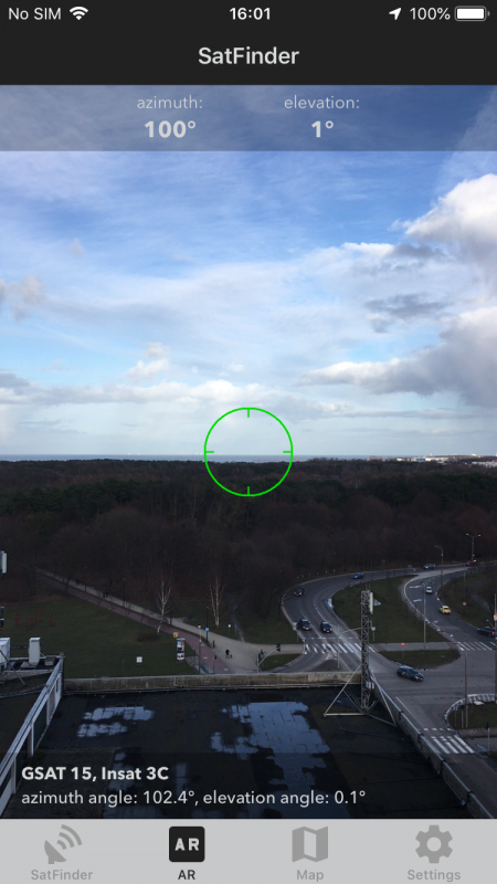
In AR mode image from camerra is overlayed with data from phone sensors. In this mode you can see where on the sky satellite should be. When you see clear sky – in most cases there will be no problem with find satellite signal in given place. But when you see trees or other obstacles – you should find another place to mount antenna.
Is it more convenient way to change the location?
Yes. You can long tap on „your location” on main screen. In similar way you can change satellite.
I hate ads. What can we do?
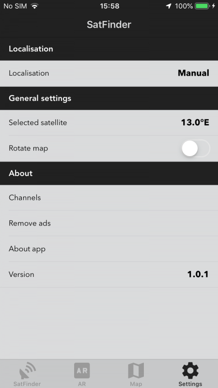
In settings there is possibility to switch off ads.
Is it possible to change location or satellite faster?
Yes. Instead using “settings” you can on main screen tap on “your location” or “satellite name” – you should be teleported to settings.
I have other question.
You can send me e-mail satfinder@mge.net.pl with problem description – I will try to answer your question as soon as possible.
How to create custom satellite list?
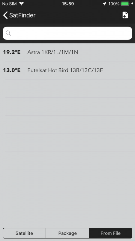
Data format is really simple. You need to create *.csv file. In every row you should insert data in format: satellite_name;orbital_position , f.e.
Astra; 19.2
HotBird;13.0
Directv;-101.0


