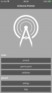
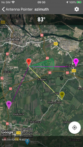
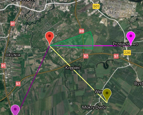
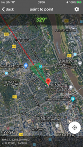
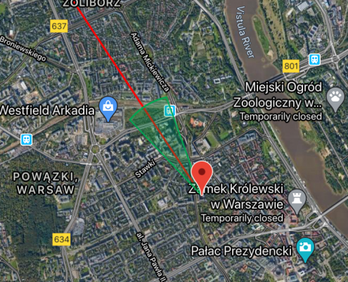
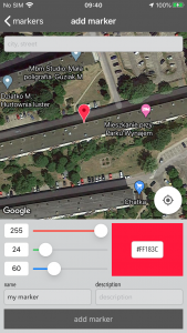
Antenna Pointer for iOS is app which was designed as a toolkit for people who install sector antennas, ISP and other. Essentially it is a satellite map with ability to draw lines, sectors and markers on it. But not only. It has also built-in database engine, and can track GPS location.
App can work in three modes:
- azimuth mode,
- point-to-point mode,
- validation mode.
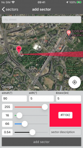
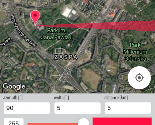
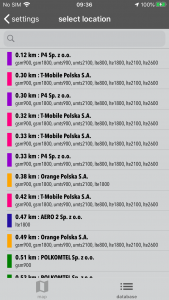
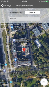
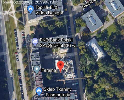
In first mode user select desired azimuth and distance and pin it on map (by long tap or specifying location). In second mode user select location (from map, by typing address, latitude/longitude, from database). These two modes can be useful in antenna installation process.
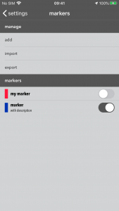
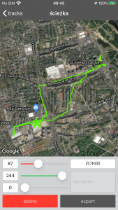
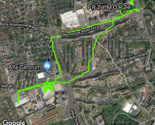
Third mode is a little bit different. In this mode user can draw on map multiple lines, sectors, markers, and also add custom *.KML files, and app can track user location. It can be used in process of tracking signal interference.
How to use this app?
The app usage is quite simple.
- Select working mode.
- Add azimuths, markers, lines, etc.
- Observe on map lines. markers etc.
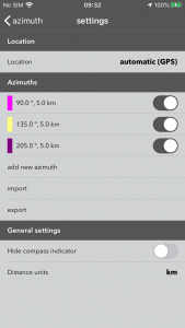
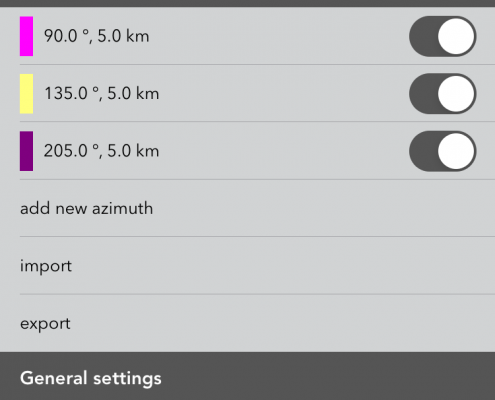
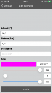
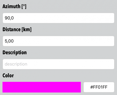
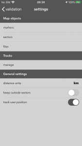
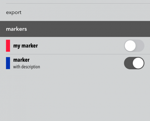
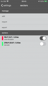
All map elements can be modified in settings menu (top right icon in navigation bar, each mode got different settings menu). Add operations are labeled. To modify object – long tap on object name. To delete object just swipe it left.
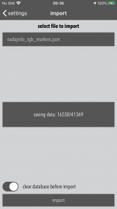
All lists can be exported in JSON format. These files can be also imported to Antenna Pointer. In this way user can backup data. All files can be find in Files/Antenna Pointer directory. Please remember that this files are deleted during app uninstall. So if these files are important – please backup them frequently.
I have a question. What to do?
If something is unclear, notworks, or you need custom feature in app – please send me e-mail. I will try to send answer as fast as is possible.


